What comes with every image
Buying satellite imagery has always meant trusting a stack of PDFs. Data Sphere turns the paperwork into something the platform enforces and records, so you can show your work.
London, 13 August 2026
The licence decides what you see
You sign one licence on Data Sphere, and controls what the platform will show you. If it only covers commercial use, only imagery allowed for commercial use will be shown. The platform will prioritise your compliance, so you don't have to.
Your licence agreement
- Tier
- Commercial
- Data
- 30 cm optical, Sentinel-2
- Signed
- 14 September 2026, electronically
- Fingerprint
- sha256 9f2c…a71e
- The agreement is signed12 scenes found
- Your entitlement is confirmed30 cm optical and Sentinel-2
- The use falls within your licence tier4 withheld
- The terms match the signed document8 shown
Results for your search


8 scenes licensed for commercial use, shown
4 scenes licensed only for other uses, withheld
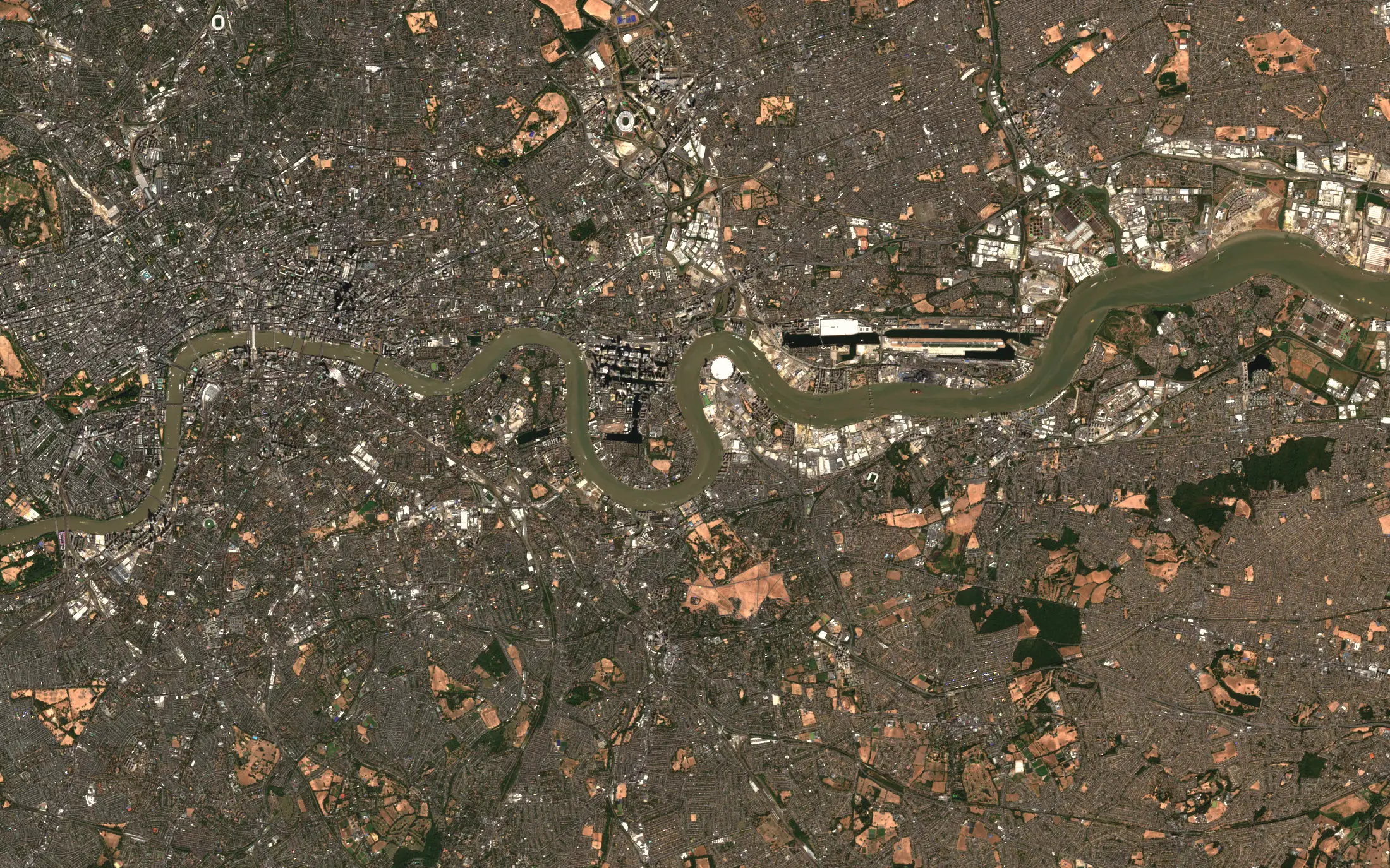
The same checks run on every search and ensuring only compliant data reaches the basket or checkout.Hamburg, East Owainat, Cushing, Chuquicamata, Prague, the Danube delta, Almería, the Platte valley, Sossusvlei, Melbourne, Dunkirk and the Nile delta.
People check who gets restricted imagery
Commercial access needs a corporate email and a signed end-use statement. Government and defence access needs a named official contact and an export-controlled-data NDA, and goes through formal review with the supplier.
Access requestCommercial
- Corporate emailprovided
- Signed end-use statementsigned
- Review by a personin progress
decisionafter our review
Access requestGovernment and defence
- Named official contactprovided
- Export-controlled-data NDAsigned
- Formal review with the supplierin progress
decisionafter the supplier’s review
Every file carries its history
Each item carries a processing record: the supplier’s original scene, every step applied to it, the software that ran and when.
- Supplier’s scene
- supplier
- Copernicus
- scene
- T30TXQ, 19 Sep 2026
- acquired
- 11:08 UTC
- Clipped to your area
- area
- 1.8 km²
- step
- clip to boundary
- ran
- 2 Oct 2026, 09:14
- Converted
- format
- Cloud-optimised GeoTIFF
- software
- gdal 3.9.2
- ran
- 2 Oct 2026, 09:15
- Delivered
- file
- bordeaux_aoi.tif
- checksum
- sha256 3be1…09c4
- to
- your organisation
- Recorded
- event
- download
- licence
- LIC-0412
- logged
- 2 Oct 2026, 09:16
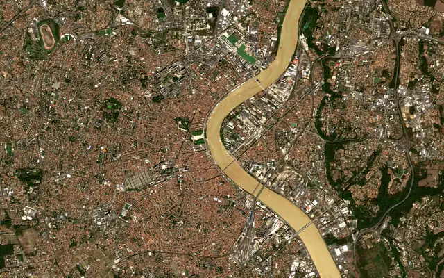
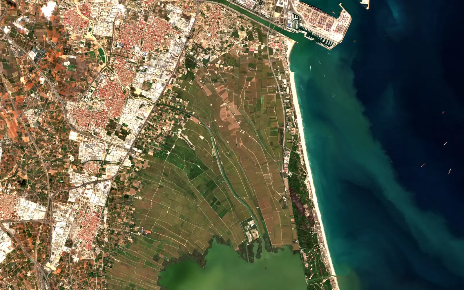
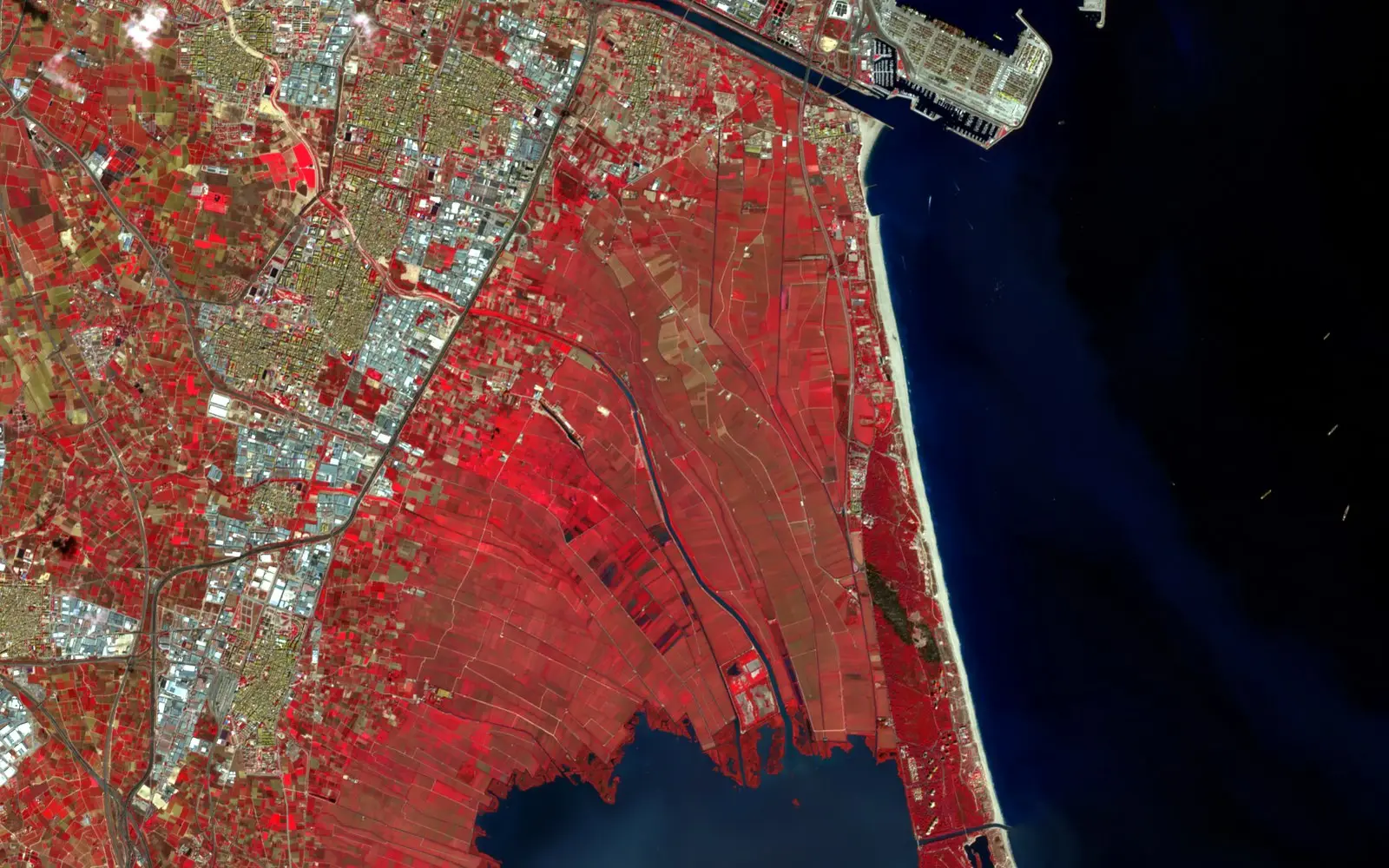
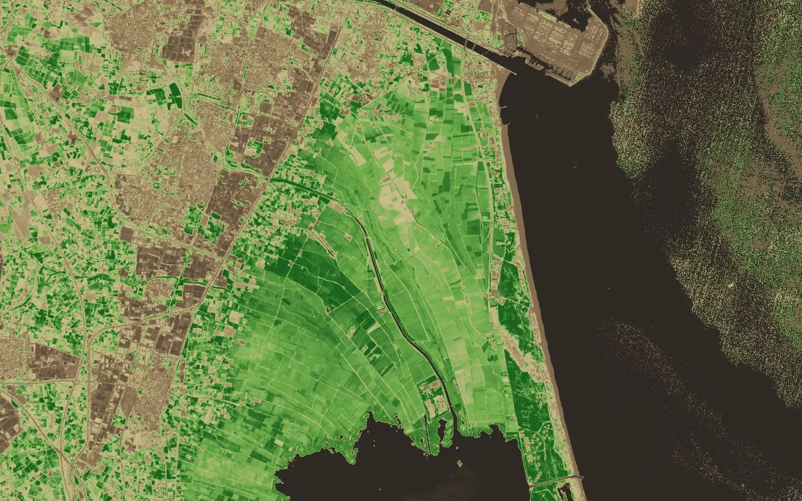
- True colour B4 B3 B2
- False colour B8 B4 B3
- Vegetation index NDVI from B8 and B4
Valencia and the Albufera, 11 September 2026
The record follows every render
True colour, false colour or a vegetation index: each is drawn from the same item and keeps its processing record, so a figure built on an index still leads back to the scene.
Every action is recorded
Searches, orders, downloads and changes to who can see what are logged against the licence in force at the time.
- 09:14:02searchLIC-0412Thames Barrier, last 30 days: 12 found, 4 withheld
- 09:15:10orderLIC-04122 scenes, quote accepted
- 09:16:47downloadLIC-0412item 7f3a…e1, GeoTIFF, 214 MB
- 09:31:05accessLIC-0412analyst added to the licence by an administrator
- 10:02:19searchLIC-0412Royal Docks, under 50 cm: 3 found
- 10:02:20refusedLIC-0412defence-only scene, outside the licence
Graded before you buy
The Quality Award grades how complete and consistent a scene’s metadata is, so you know what you’re getting before you pay.
Quality AwardGold
- Valid STAC itemmet
- Electro-Optical fieldsmet
- View fieldsmet
- Projection fieldsmissing, so not Platinum
- Bronze
- Silver
- Gold
- Platinum
- Diamond
# Search every supplier in plain English
curl -G https://datasphere.astrodynamic.space/ds/search \
  -H "Authorization: Bearer $DS_TOKEN" \
  --data-urlencode q="Port of Rotterdam, under 50 cm, last 30 days" \
  -d limit=10

{"type": "FeatureCollection",
 "features": [
   21 STAC items, SuperView Neo, 30 to 50 cm
   16 STAC items, WorldView, 30 to 50 cm
   Sentinel-1 and -2 checked, nothing finer than 10 m
 ],
 "numberMatched": 37,
 "ds:search": {"complete": true}}
One API for all of it
Search in plain English, by drawn area or by shapefile. Results come back in STAC as each supplier answers, and AI agents can use the same search through our MCP server.
In testing
What we’re testing now and building next, so the evidence goes further.
- Checks on every buyer Identity, sanctions and export screening before anyone can buy.
- Your audit log, to download Every search, order and download, ready to hand to an auditor.
- Evidence packs One sealed bundle per site or claim, with the imagery, its licence, its history and a seal anyone can check.
- Ordering for your clients Consultancies and analytics firms order for named clients, and the licence and records go to the client.
- Imagery in your GIS Stream what you’ve bought into QGIS, ArcGIS or the browser without downloading it.
- More providers More radar, thermal and optical imagery is on the way.