Satellite data you can use and stand behind
Commercial satellite imagery from several providers, cleared for your use, traceable to where it came from, and recorded from search to download.
- Searchable now
- Open data
- Latest clear picture, as a satellite passes
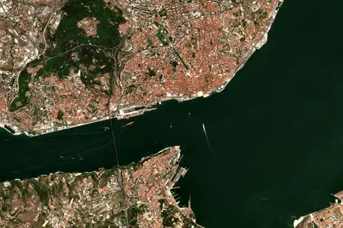
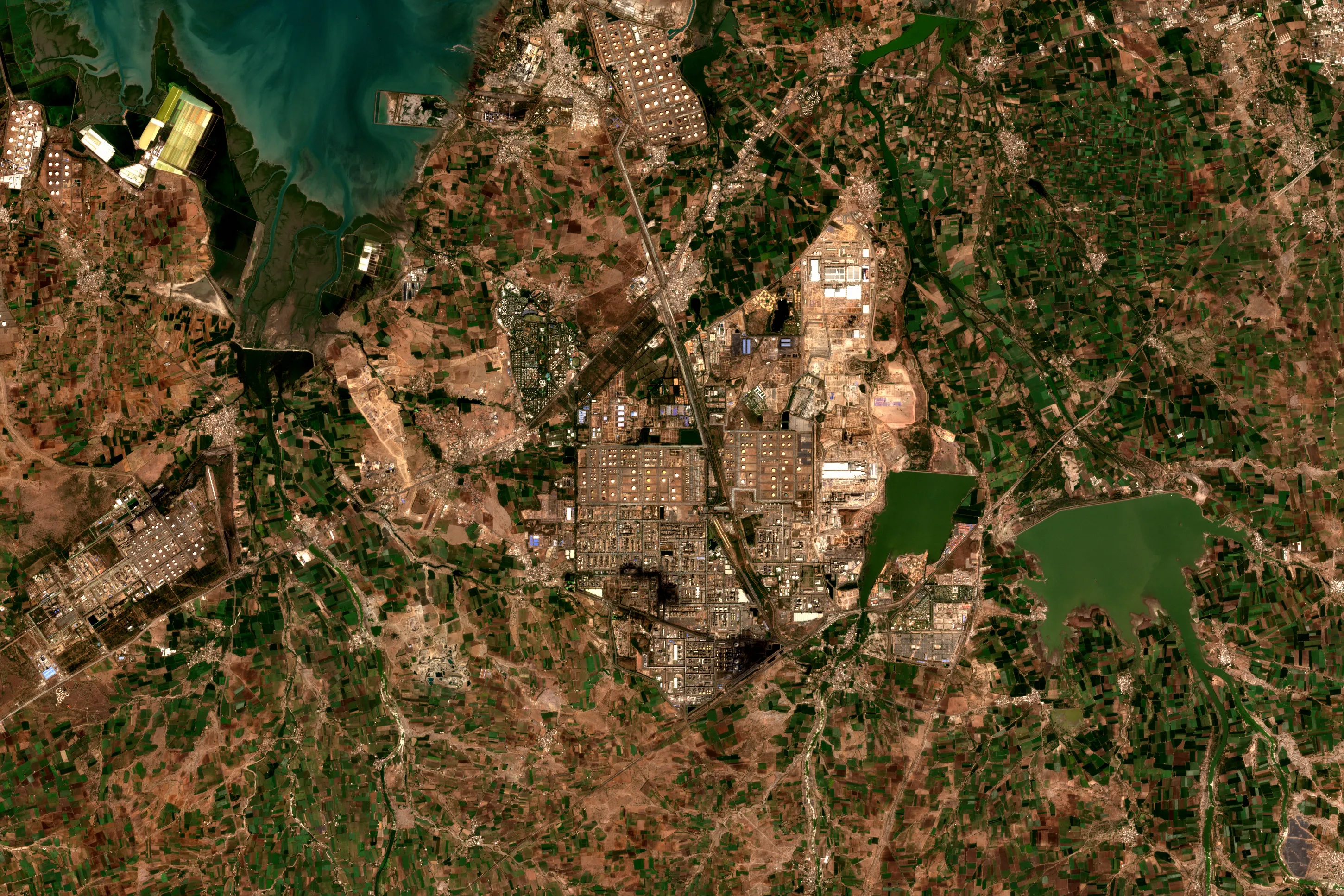
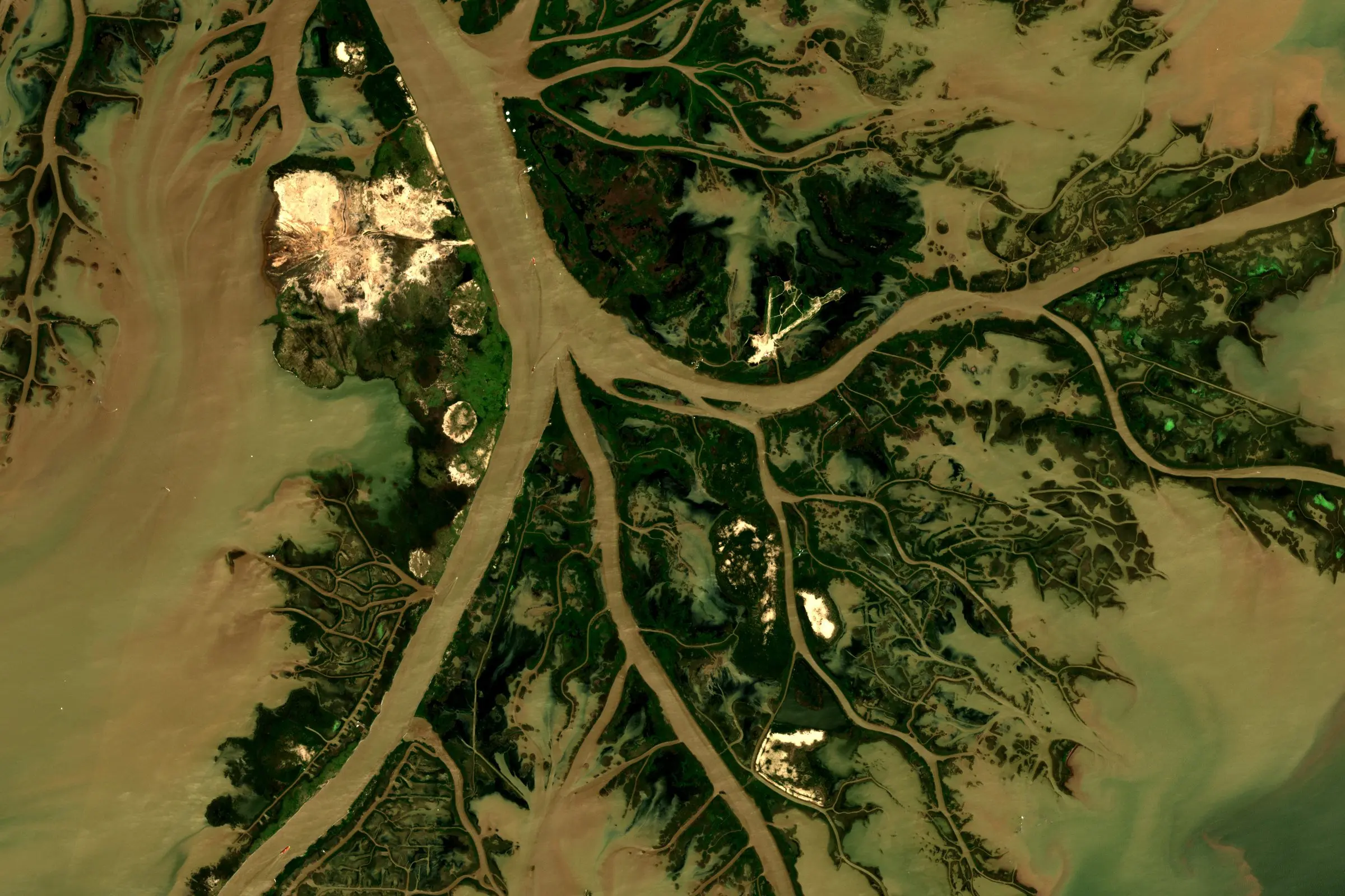
Pictures are recent Sentinel-2 views of each place, for illustration. They are not taken by the satellite shown passing.
Cleared before you buy
Your licence is embedded into the platform. Ensuring data that shows up in your results is always compliant, before you pay.
- Holder
- Your organisation
- Licence family
- Commercial
- Permitted use
- Commercial analysis
- Signed
- 14 September 2026
- Fingerprint
- sha256 9f2c 41d0 … a71e
Enforced
Traceable
Each file carries its processing history, so a figure in a report can be followed back to the scene.
-
 sceneS2 29SMC
 -
 clipped2.7 km²
 - convertedCOG
- .tif3be1…09c4 deliveredGeoTIFF
Recorded
Each search, order and download leaves an entry under the licence it used.
- 09:16:47downloadLIC-0412
- 09:31:05accessLIC-0412
On Data Sphere now
Every supplier→- Orbview30 cm
- Vantor30 cm
- Esperhyperspectral
- Copernicus10 m, open
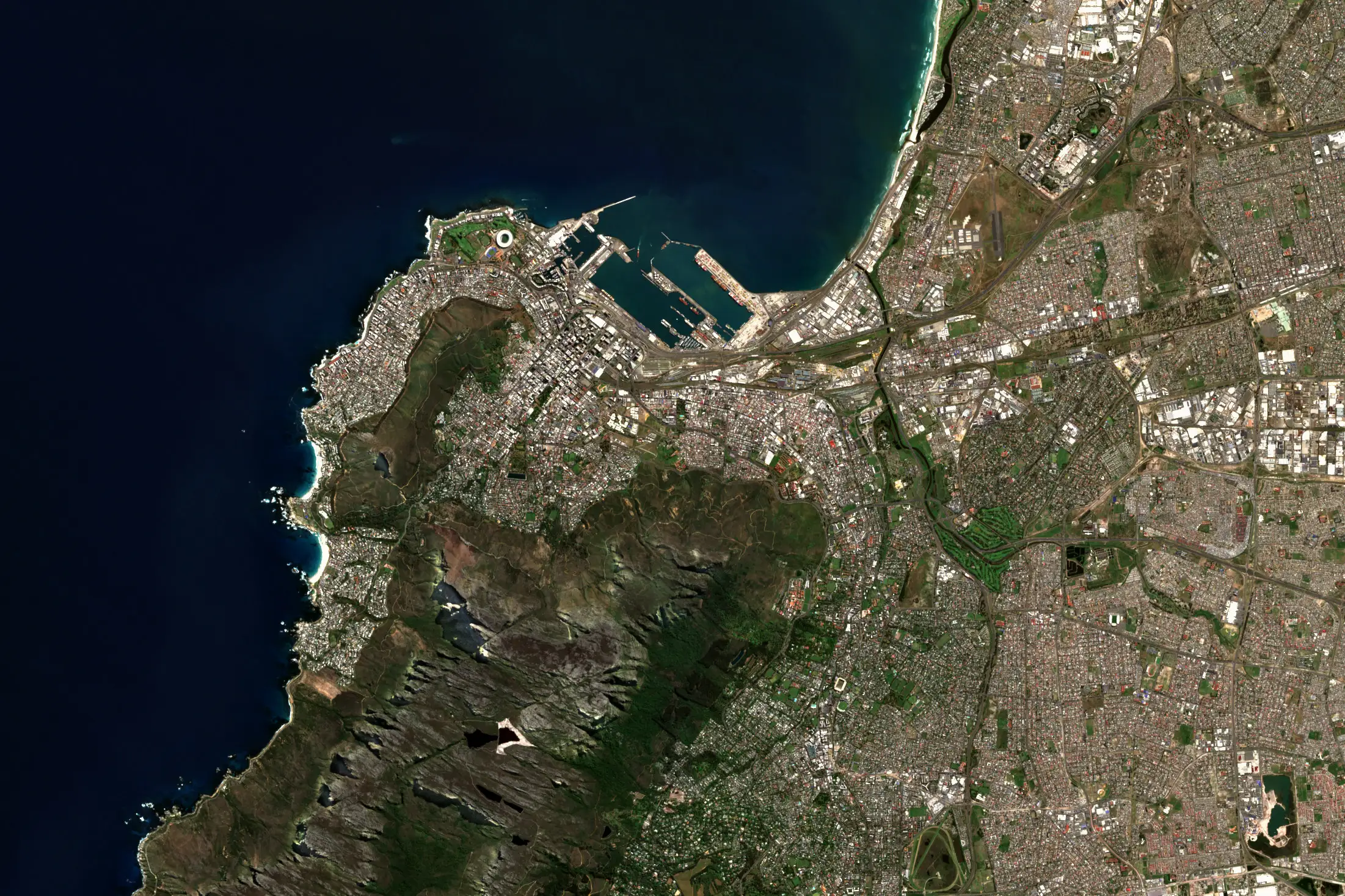
Cape Town, 21 September 2026
If you use imagery
Insurers, lenders and investors use Data Sphere to see what’s on the ground and to show their auditors where the evidence came from.
We also work with defence and security teams, and in petrochemicals, agriculture, shipping and industry.
If you supply imagery
We handle the buyers you can’t economically serve, on your terms and at your price.
For providers→If you deliver to clients
For consultancies and analytics firms buying imagery on their clients’ behalf.
For partners→Built first for insurers, lenders and investors
The ground after a wildfire, and the exposure along a river that floods.
Financial services and insurance→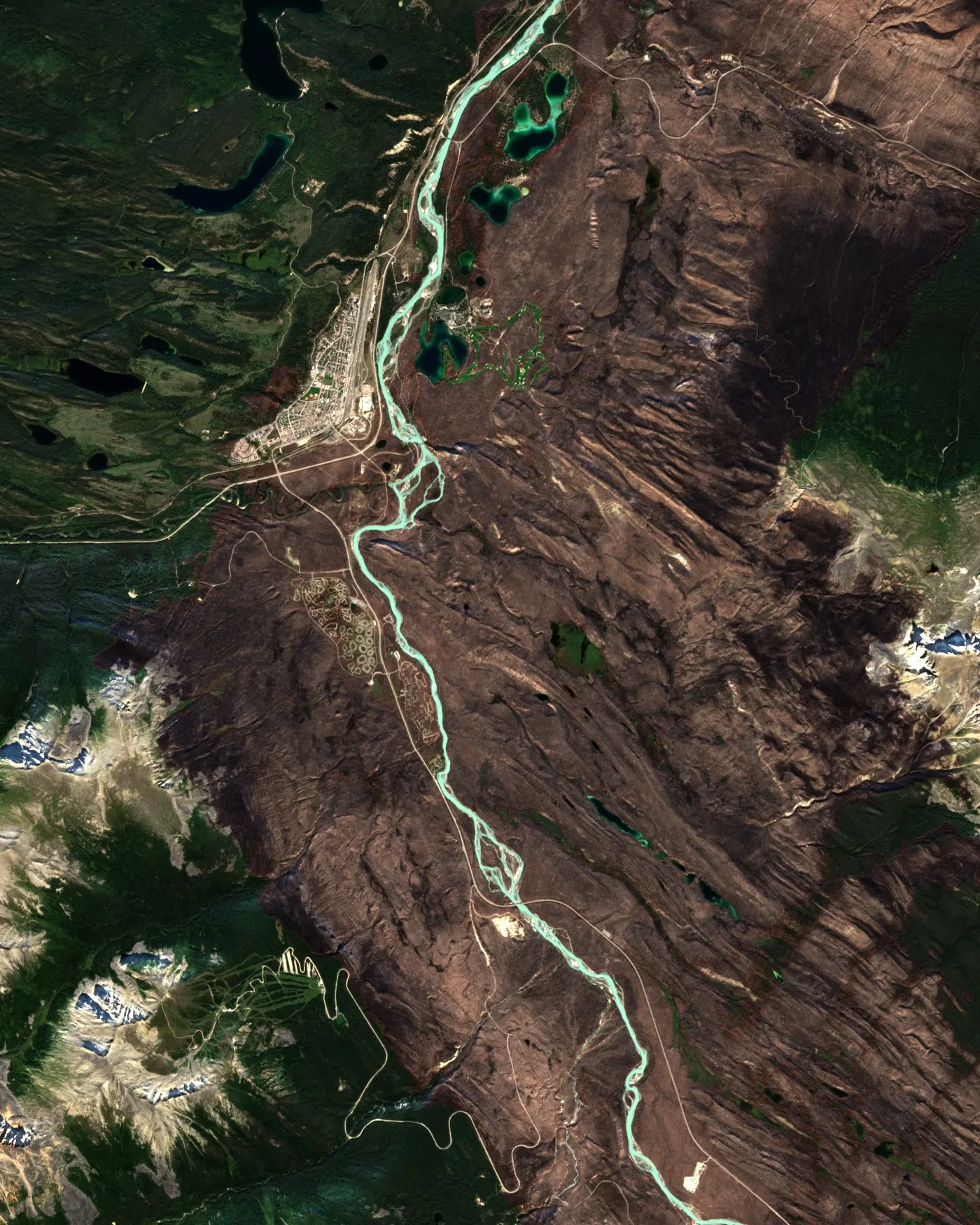
Want to see it over a site you care about? Write to info@astrodynamic.space.