Imagery your auditors will accept

Satellite imagery is becoming ordinary evidence in underwriting, claims and lending. What’s been missing is a way to buy it that a risk or audit team can sign off.
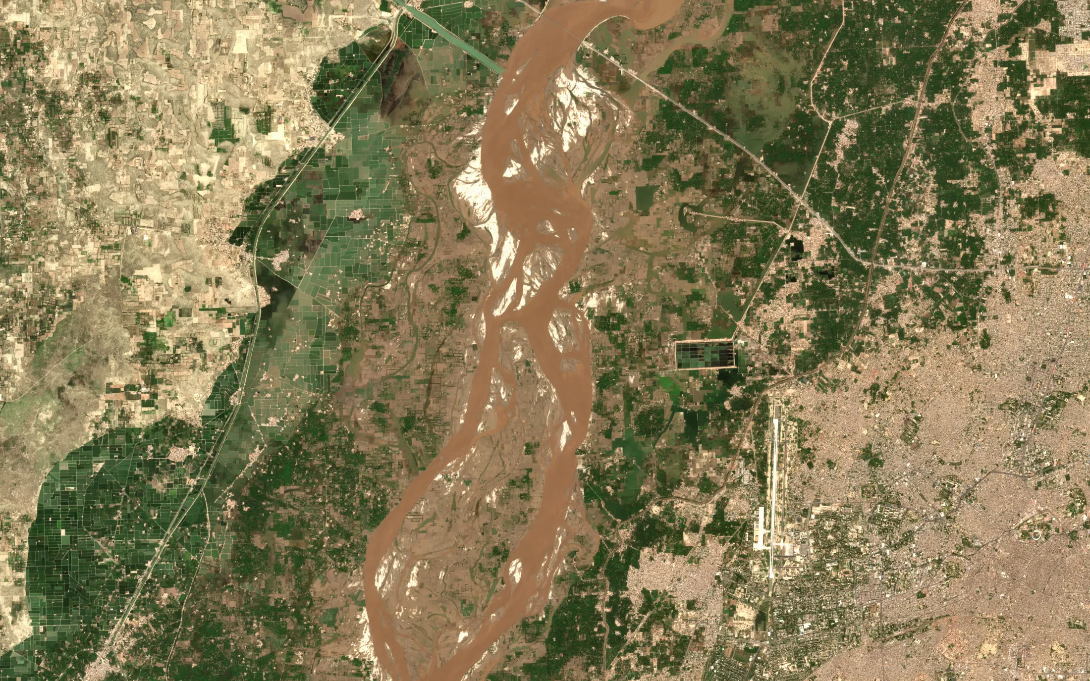
Sentinel-2 true-colour view of the Chenab in flood near Multan, Punjab, on 23 September 2025, with brown floodwater filling the braided river and spreading over the fields on both banks, and an airport runway to the east
The Chenab in flood near Multan, Punjab, 23 September 2025

Insurers and reinsurers

After a named event, search the archive over the locations you cover and buy only the area inside them, not every tile that touches it. Flood and burn extent come with a confidence figure and the method behind it.
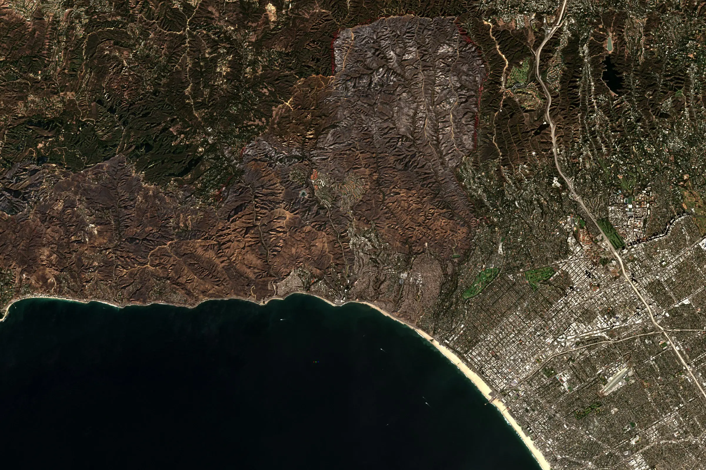
Satellite view of the Santa Monica Mountains above Los Angeles after the wildfire, with four scene footprints over the burn area and an area of interest drawn inside them

billed: 12.0 km², not the whole tile

The footprints and the figure are an example, over the burn scar of the January 2025 fire. Santa Monica Mountains, Los Angeles, 12 January 2025.

Lenders and asset managers

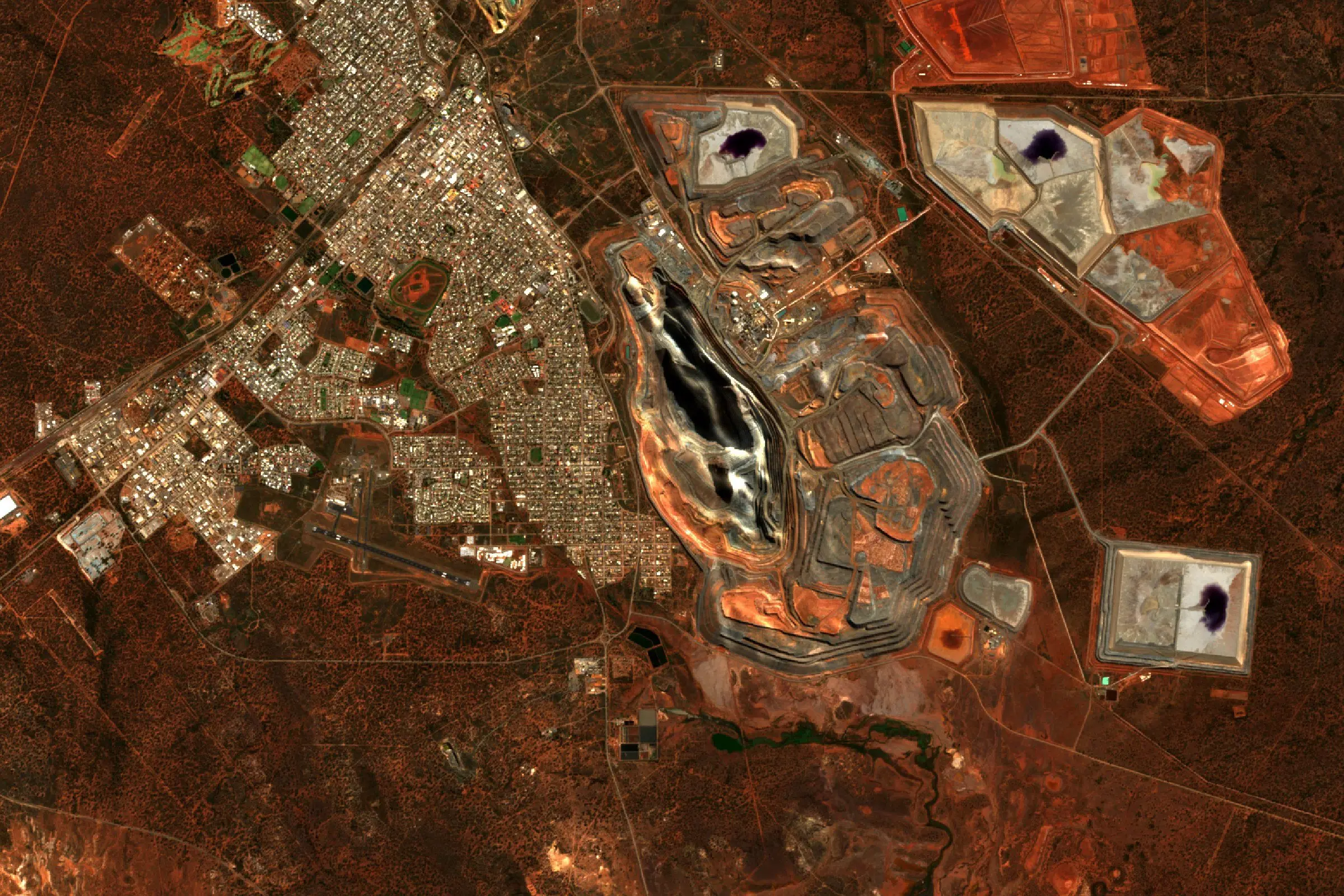
Check that a mine, a solar park or a port terminal you’ve financed exists and is working, and watch climate exposure across a portfolio, with each image licensed for the use you’re making of it.
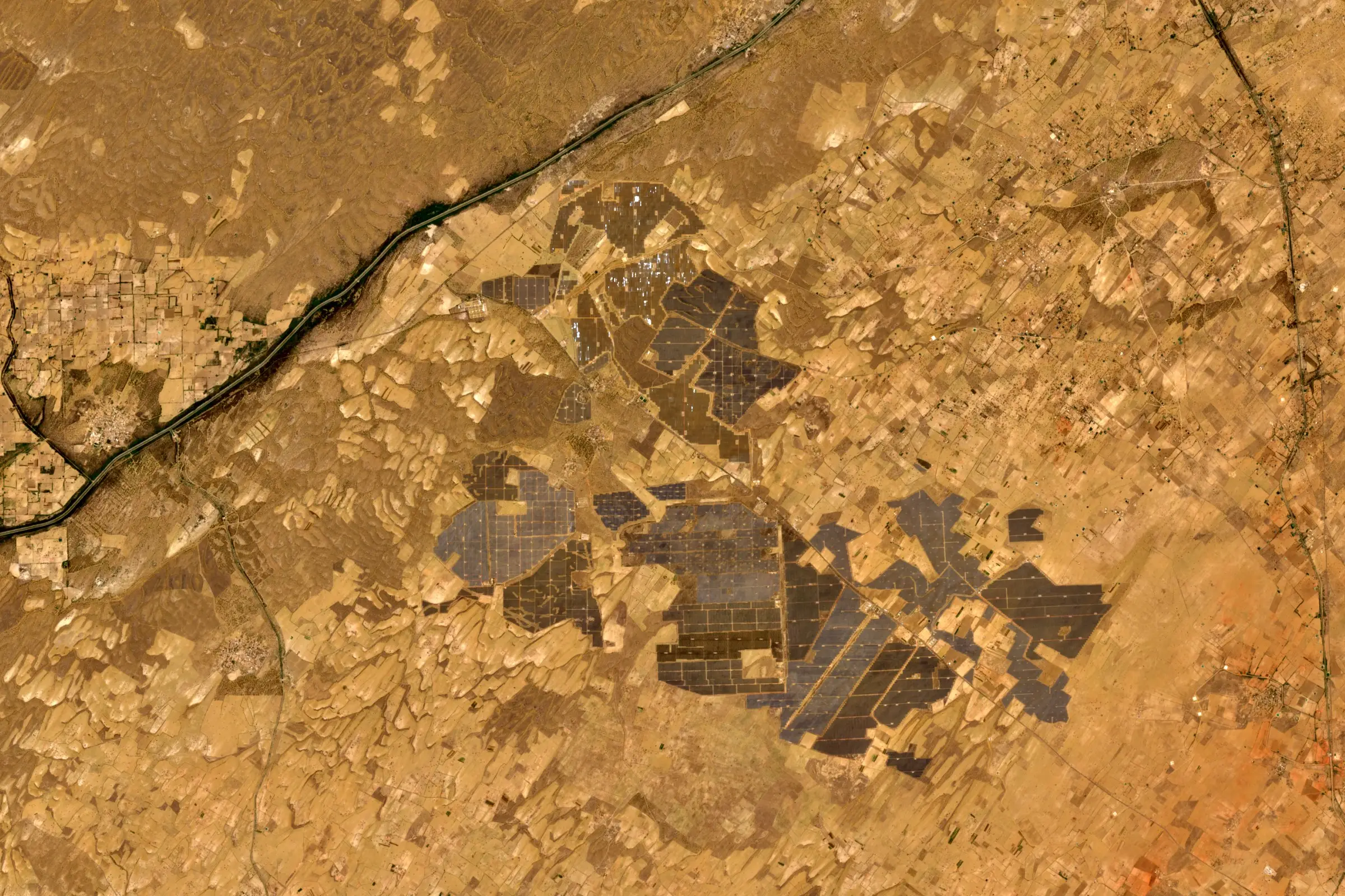
Satellite view of the grey rectangular arrays of a large solar park in the Rajasthan desert
A solar parkBhadla, Rajasthan, 29 May 2026
Satellite view of the Super Pit gold mine beside the town of Kalgoorlie in Western Australia
A mineKalgoorlie, Western Australia, 12 August 2026
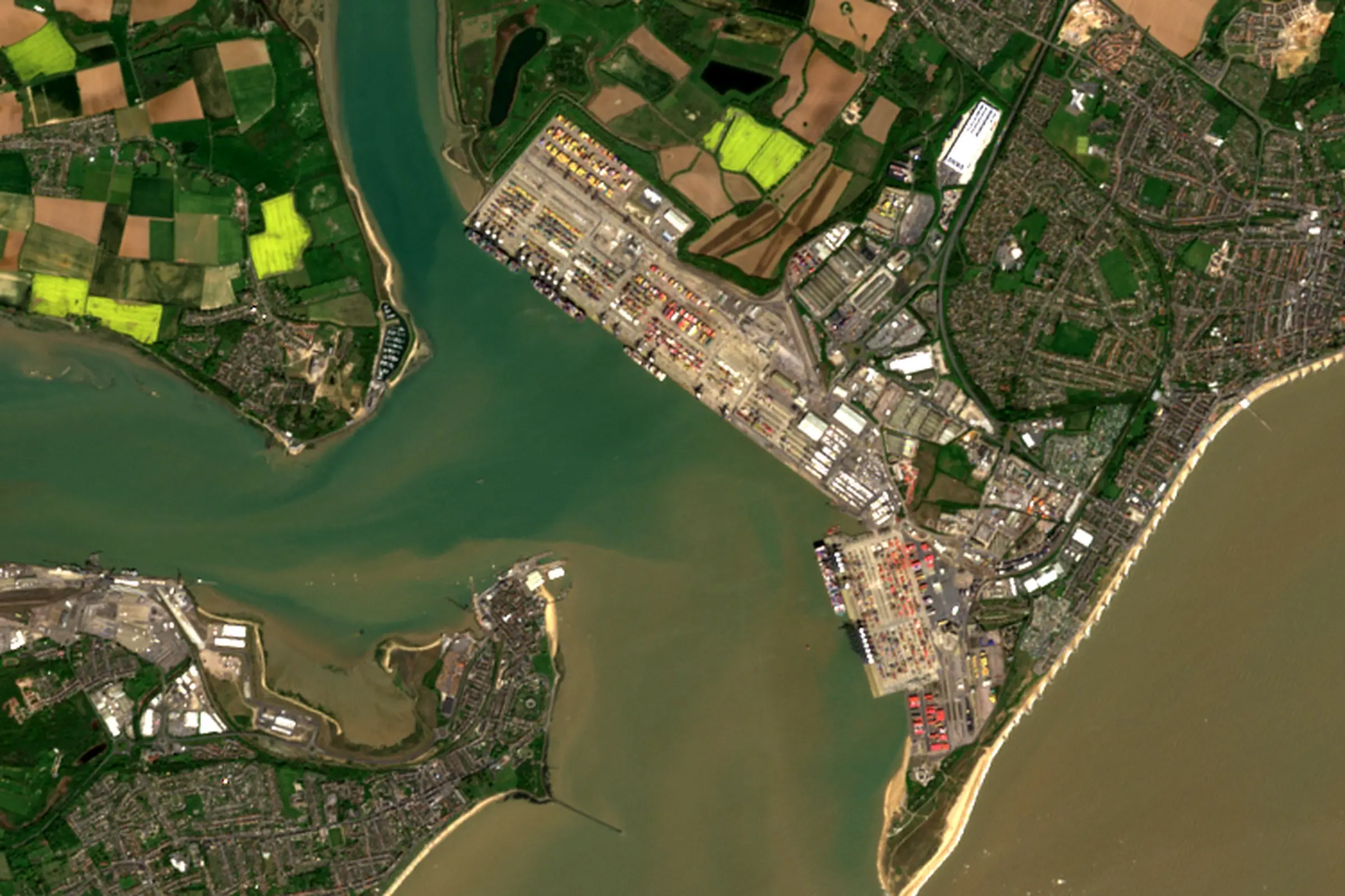
Satellite view of the container terminal at Felixstowe on the Orwell and Stour estuary, with Harwich across the water and farmland behind
A port terminalFelixstowe, 22 April 2026

Why the records matter here

Model validation, data-quality rules and a disputed claim each turn on two questions about an image: what is its source, and was it licensed for this use? Data Sphere keeps the answer with every file, for the picture before an event and the one after.

How the records are kept, and more on climate risk from orbit and imagery in finance.

Talk to us about your portfolio→
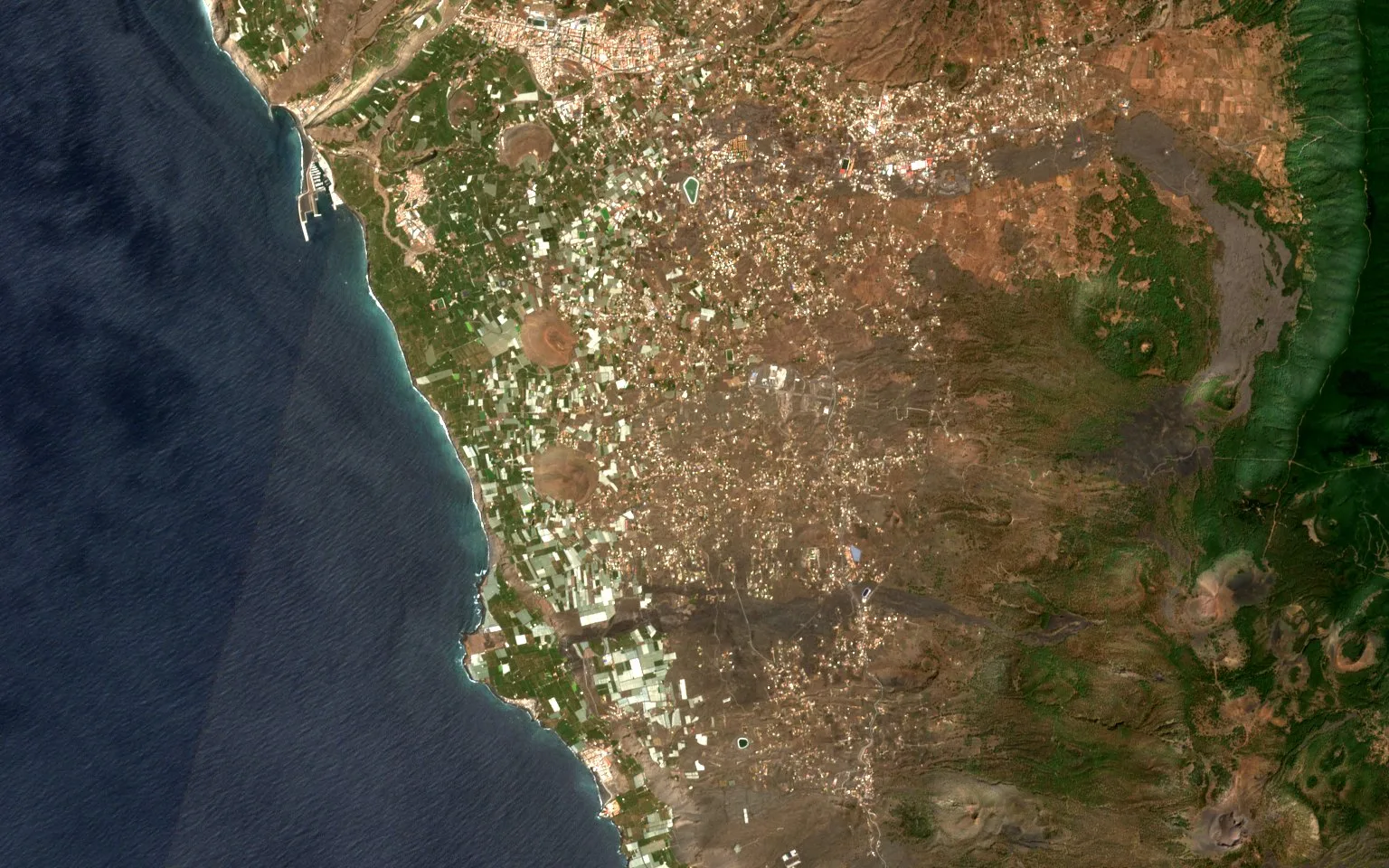
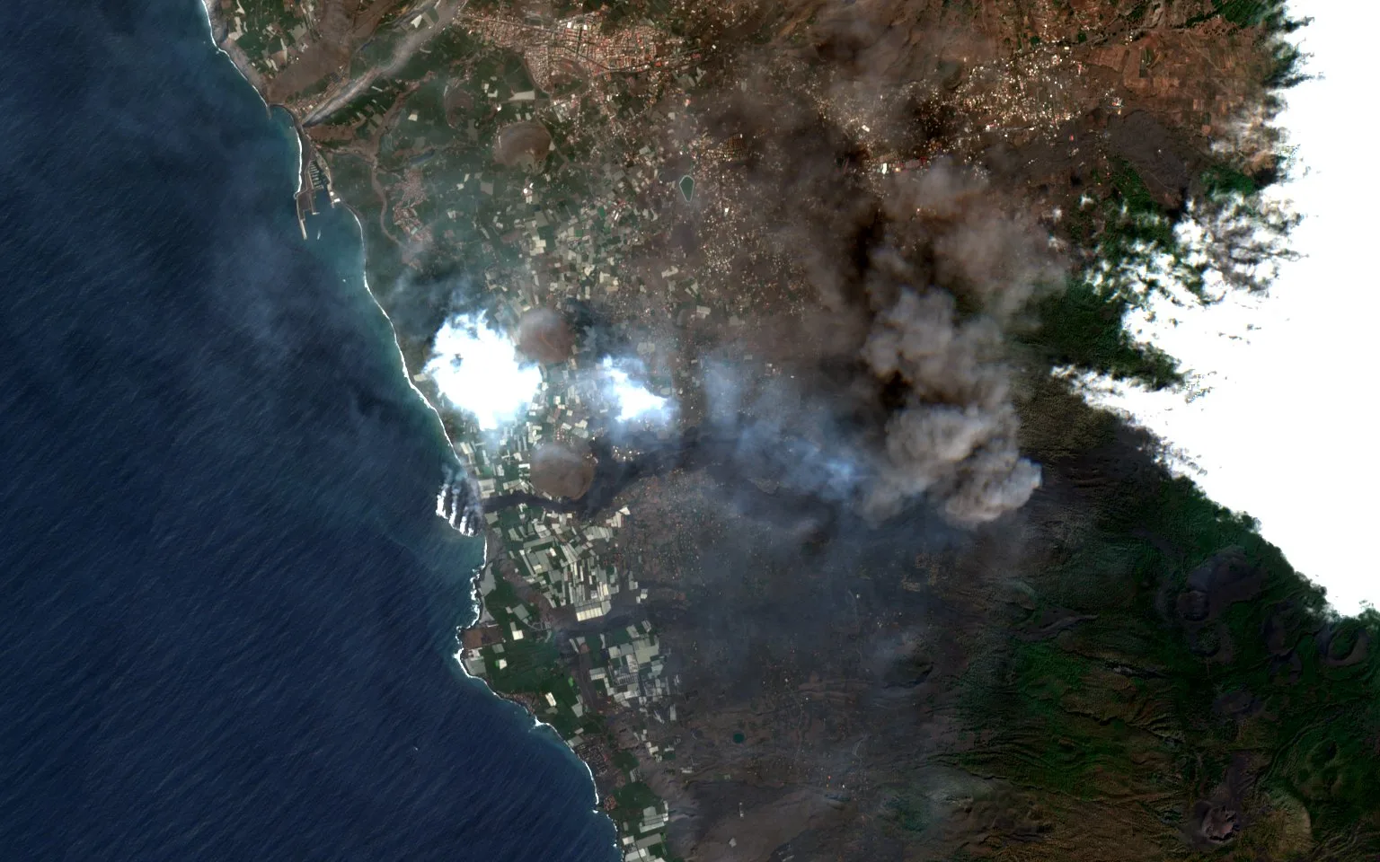
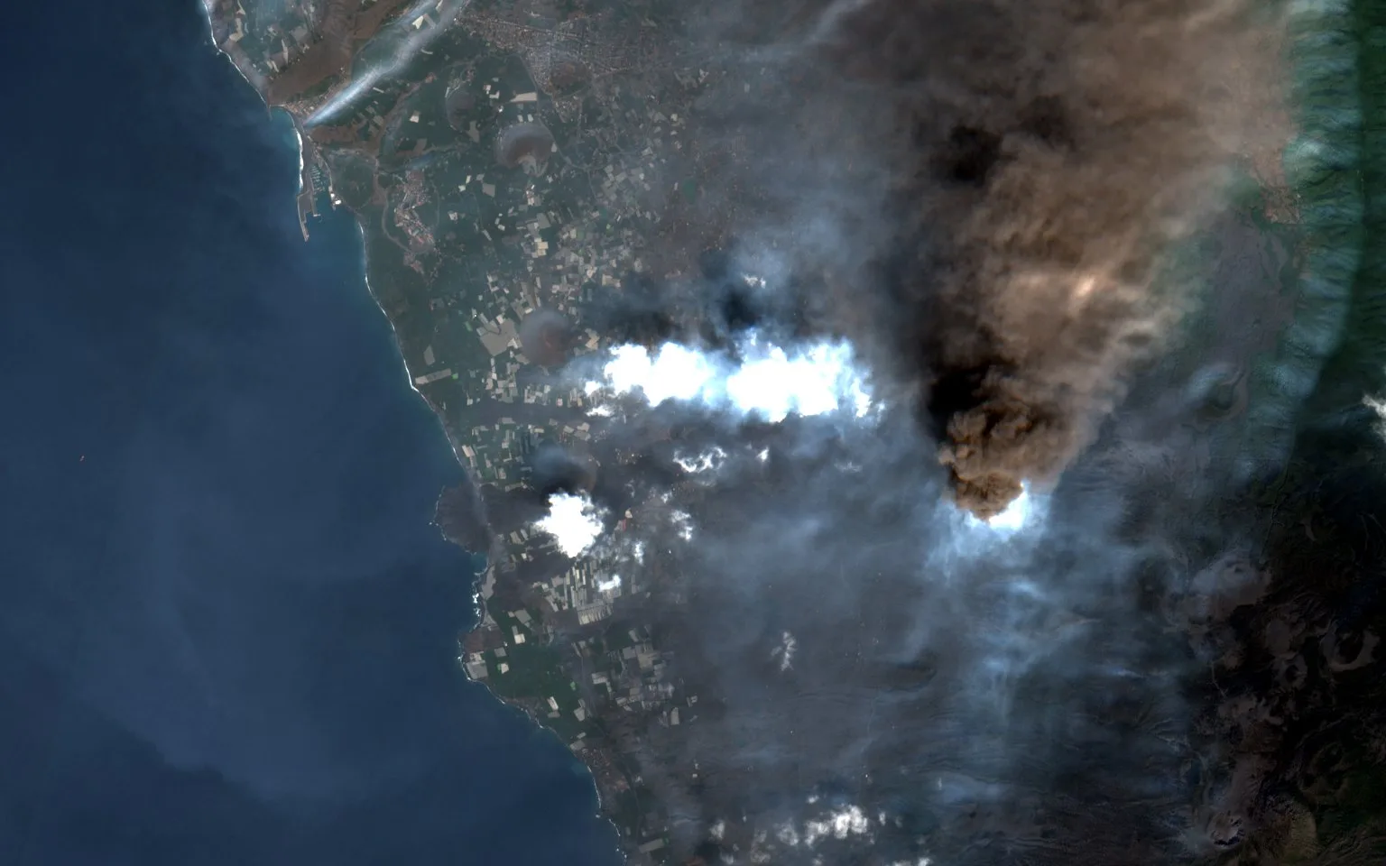
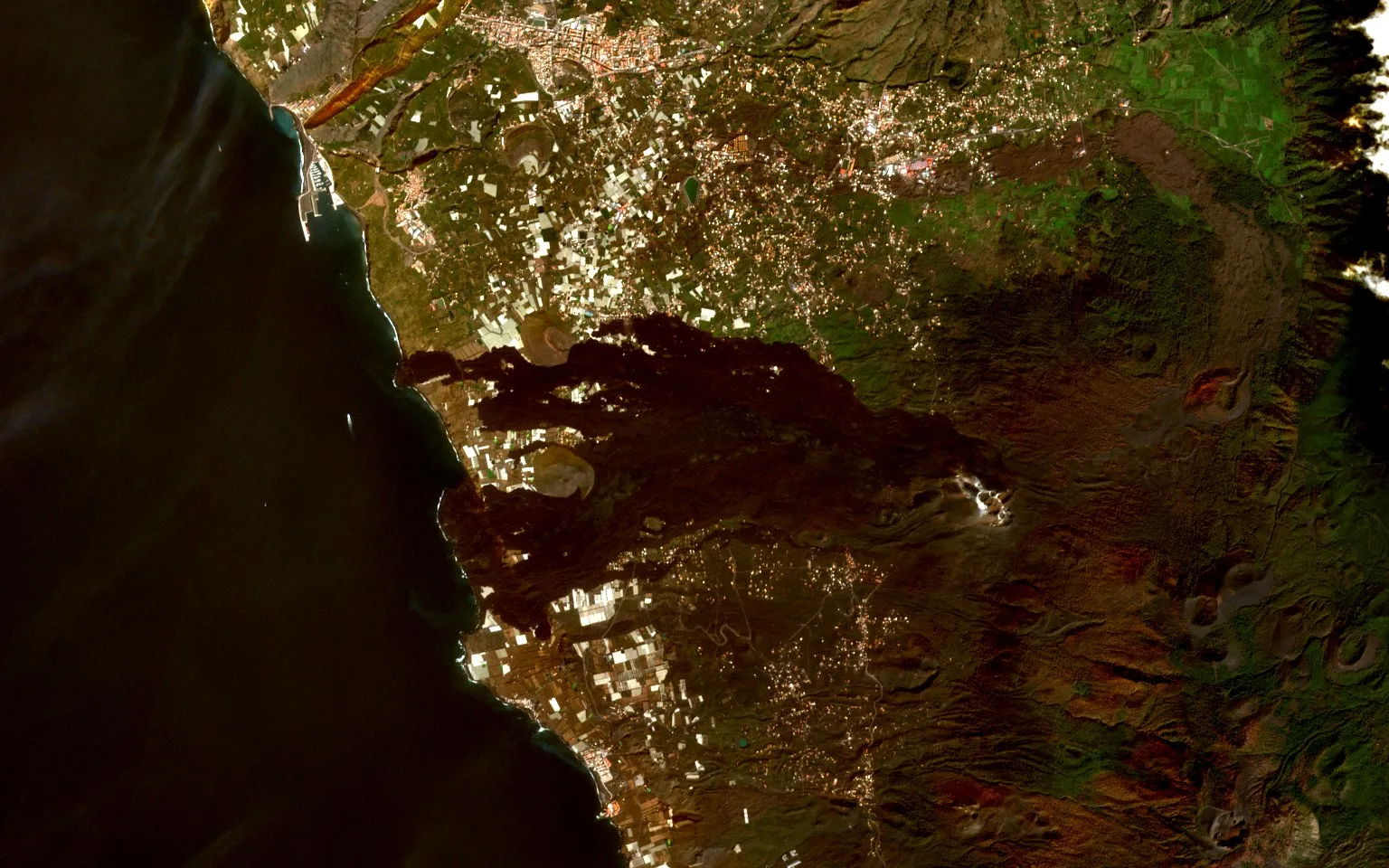
The west coast of La Palma before the eruption, with villages, roads and the pale squares of banana plantations running down to the sea The same coast eleven days into the eruption, with a dark ash plume over the hills, white cloud, and the first lava flow running down to the sea The same coast in mid October, much of it under the eruption plume, with the lava flows widening below The same coast after the eruption, with a broad black lava field crossing the land from the hills to two new deltas in the sea, and the plantations left on either side
eruption begins declared over
Before
10 Sep 2021, Sentinel-2A, STAC item S2A_28RBS_20210910_0_L2A, Copernicus open data terms
After
7 Feb 2022, Sentinel-2A, STAC item S2A_28RBS_20220207_0_L2A, Copernicus open data terms
The west coast of La Palma around Todoque, Canary Islands. Every Sentinel-2 pass over it from September 2021 to February 2022; a pass with more than 8% cloud over the area is not used.